Wide delta frame
A wide top-down composition of a braided river delta fanning into a blue sea, silver channels branching across green sediment, open water reserved on one side for a title.
Edit prompt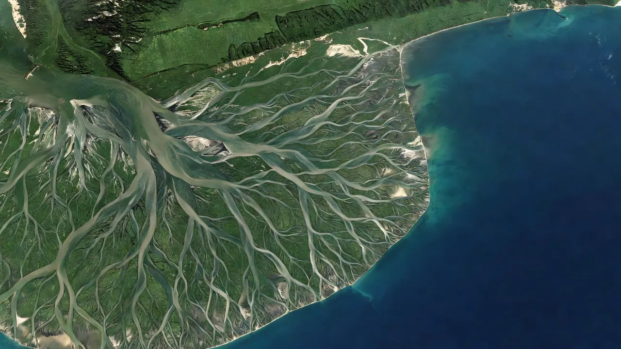
Create Satellite photography images in your browser with Morphic's AI image generator. Generate top-down frames like a braided river delta fanning into the sea, a patchwork of farmland grids, or a winding coastline from far above. Hold one orbital look across a set with Style Transfer.
A wide top-down composition of a braided river delta fanning into a blue sea, silver channels branching across green sediment, open water reserved on one side for a title.
Edit promptA landscape frame of patchwork farmland from orbit, geometric plots in greens and golds ruled by clean roads, the grid pattern filling the frame edge to edge.
Edit prompt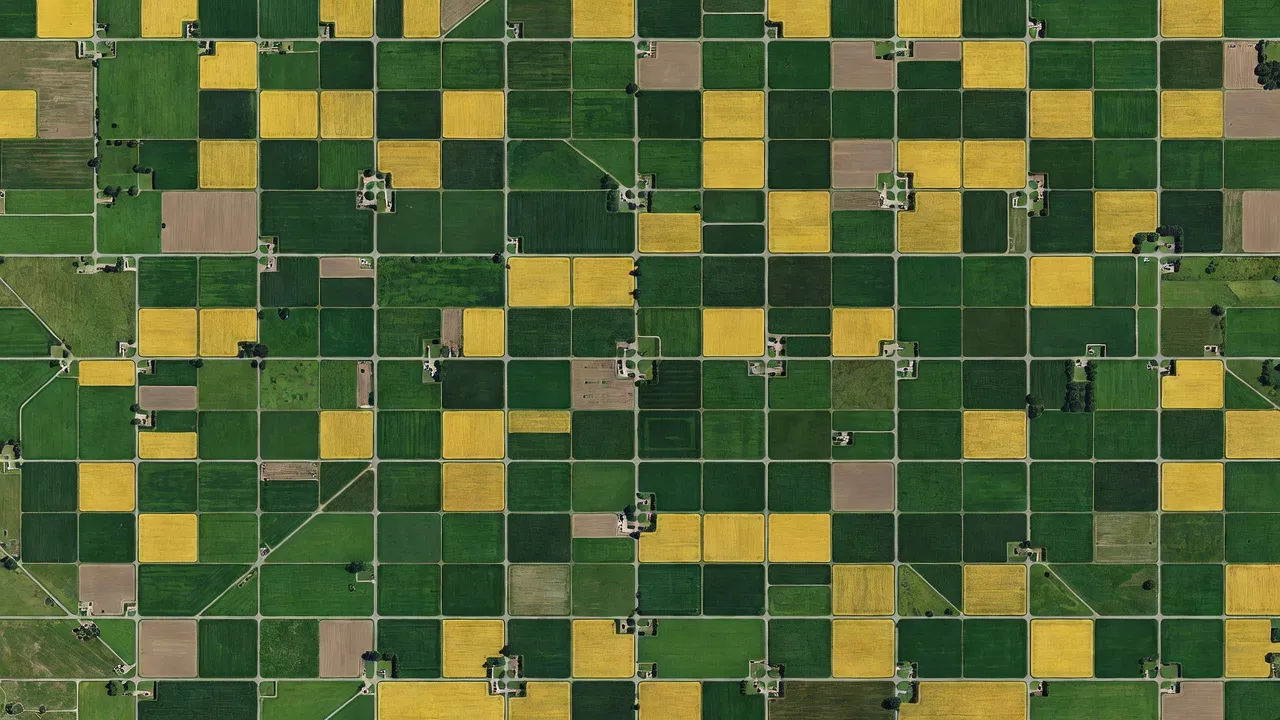
A wide shot of a winding coastline from above, turquoise shallows fading to deep blue, pale beaches tracing the curve and a clear caption area held in the open ocean.
Edit prompt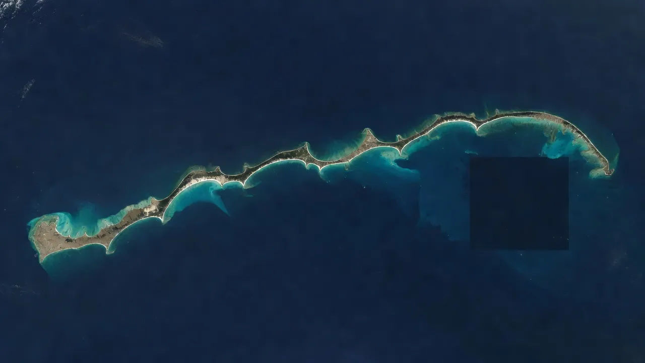
An establishing frame of a spiralling storm swirling over dark ocean, white cloud bands wrapping a shadowed eye, a vast atmospheric pattern at orbital scale.
Edit prompt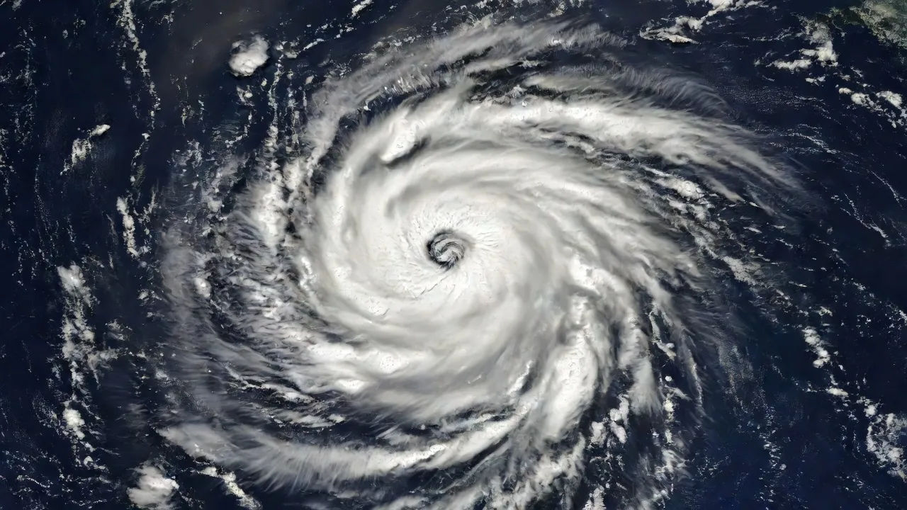
Describe the Satellite photography you want, in plain words.
Morphic generates a clean, ready-to-publish image on your canvas in seconds.
Tweak the prompt, regenerate variations, then download or share the frame.
Fix plastic-looking AI skin. Adds natural texture, pores, and imperfections for realism.
One selfie becomes a set of professional headshots. Studio-quality, multiple styles.
Choose your viewing angles and get precise perspective shifts of any image with full camera control.
Convert any image to a new aspect ratio. Smart crop or extend the edges to fit.
Set the look with one reference image. Apply that exact grade to any scene or batch.
Bring back any damaged, blurry, or low-res image. Get a sharp, detailed 4K version with natural clarity restored.
Thermal photography AI Images
Create AI Thermal photography images with Morphic. Generate authentic Thermal photography artwork, scenes, and visuals for any project in seconds.
Microscopy photography AI Images
Create AI Microscopy photography images with Morphic. Generate authentic Microscopy photography artwork, scenes, and visuals for any project in seconds.
Abstract photography AI Images
Create AI Abstract photography images with Morphic. Generate authentic Abstract photography artwork, scenes, and visuals for any project in seconds.
Minimalist photography AI Images
Create AI Minimalist photography images with Morphic. Generate authentic Minimalist photography artwork, scenes, and visuals for any project in seconds.
Get started for free today, with the option to upgrade or cancel anytime.
Basic
900 monthly credits
1 user only
All models
Workflows
Standard
3200 monthly credits
1 user only
All models
Workflows
Pro
6200 shared monthly credits
1 user
All models
Workflows
Pro Max
24000 shared monthly credits
1 user
All models
Workflows
Enterprise
For higher limits
Custom
pricing and billing terms

Free
For playing around
$0
forever free