River from source to sea
A geography drawing of a river from source to sea in colored pencil, a mountain spring, waterfalls, meanders, an oxbow lake and a wide delta.
Edit prompt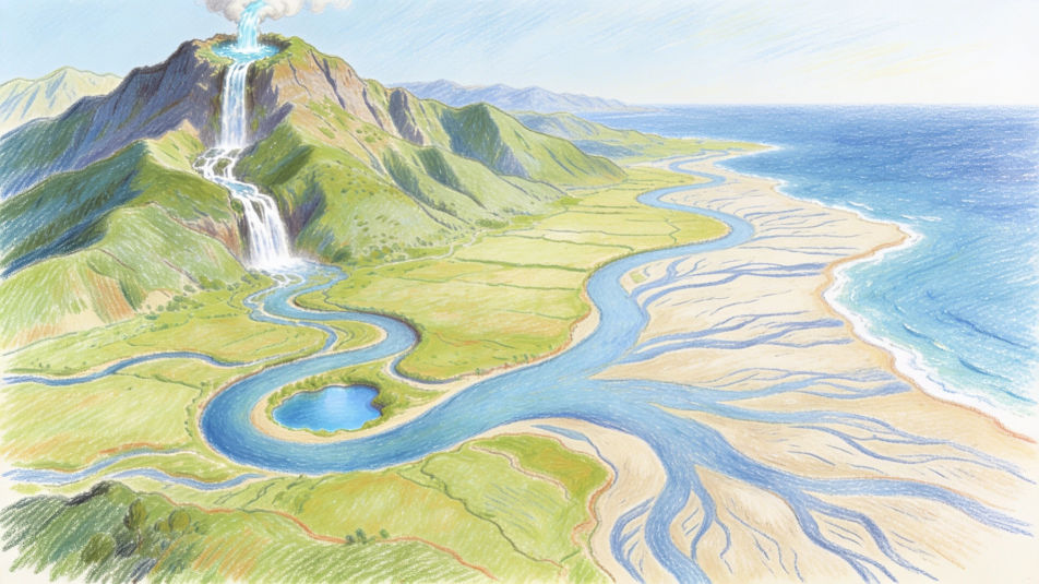
Describe the geography drawing you want in Morphic's Image tool, from a landform diagram with mountains, valleys and a river delta to a cross section of the layers of the Earth. Set the medium and the level of detail, tidy the layout on the Canvas, then download it in HD for a project or a notebook.
A geography drawing of a river from source to sea in colored pencil, a mountain spring, waterfalls, meanders, an oxbow lake and a wide delta.
Edit promptA geography cross section of a volcano in watercolor and ink, the magma chamber, the vent and ash rising from the crater, blank label lines.
Edit prompt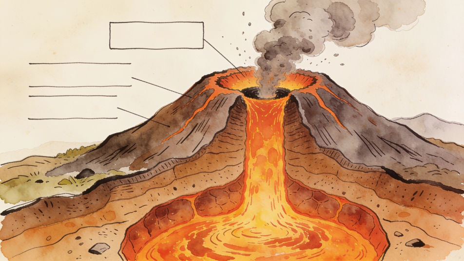
A geography drawing of the globe in pastel, bands of polar, temperate and tropical climate in different colors, the equator as a clear line.
Edit prompt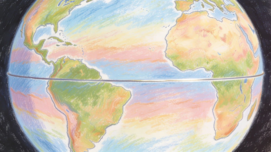
A student sketching a canyon for a geography field trip in pencil, layered rock walls, a river far below and a notebook on a rock.
Edit prompt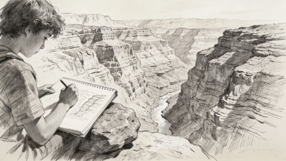
Jelaskan Geography drawing yang Anda inginkan, dengan kata-kata sederhana.
Morphic membuat gambar bersih yang siap diterbitkan di canvas Anda dalam hitungan detik.
Ubah prompt, buat ulang variasi, lalu unduh atau bagikan frame-nya.
Pick a reference image, apply its visual style to your own photo or artwork.
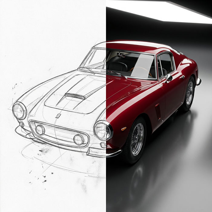
Turn any sketch or drawing into a finished render.
Convert any image to a new aspect ratio. Smart crop or extend the edges to fit.
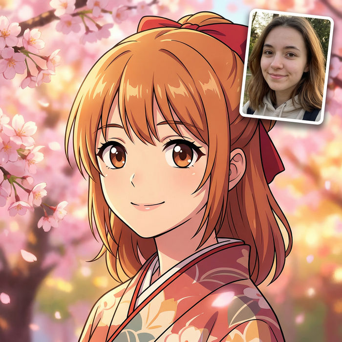
Pick any anime illustration as your style guide. Apply its look to any image.
Restyle any video in a completely new visual style. Every frame transforms, all motion stays intact.
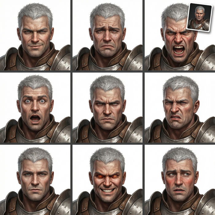
Take any character image and generate 6 distinct facial expressions on a single reference sheet.
World map drawing maker
Turn a world map drawing idea into a finished image in Morphic. Describe the line work and style, generate variations, then refine it on the canvas.
Indian map drawing maker
Turn an Indian map drawing idea into a finished image in Morphic. Describe the line work and style, generate variations, then refine it on the canvas.
Archipelago drawing maker
Turn an archipelago drawing idea into a finished image in Morphic. Describe the line work and style, generate variations, then refine it on the canvas.
Conceptual art AI art
Create Conceptual art with Morphic. Text-as-art statements, instruction pieces, deadpan documentation, white-cube installs, and certificate typography from a single prompt.
Mulai gratis hari ini, dengan opsi untuk upgrade atau membatalkan kapan saja.
Basic
2400 bulanan kredit
1 pengguna saja
Semua model
Workflows
Standard
3625 bulanan kredit
1 pengguna saja
Semua model
Workflows
Pro
6350 bersama bulanan kredit
1 pengguna
Semua model
Workflows
Max
24650 bersama bulanan kredit
1 pengguna
Semua model
Workflows
Enterprise
Untuk batas yang lebih tinggi
Khusus
ketentuan harga dan penagihan

Free
Untuk bereksperimen
$0
gratis selamanya