Map on a classroom board
The outline drawn in chalk on a dark green board, the strokes dusty and broken, a chalk stub and duster resting on the ledge beneath it.
프롬프트 편집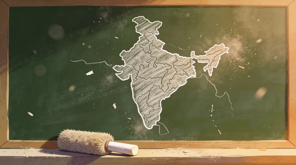
Describe the India map drawing you want in Morphic's Image tool, from a clean single-stroke outline to a relief map in coloured pencil or a decorated poster version. Set the medium, the line weight and the fill, refine it on the Canvas, then download it in HD.
The outline drawn in chalk on a dark green board, the strokes dusty and broken, a chalk stub and duster resting on the ledge beneath it.
프롬프트 편집The outline centred with small fine-liner drawings of domes, temple towers and forts spaced evenly around the border, all in the same line weight.
프롬프트 편집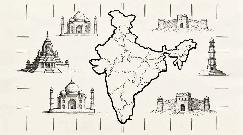
The map centred low in bold outline and flat colour with a clean empty banner across the top, left open so you can set your own wording.
프롬프트 편집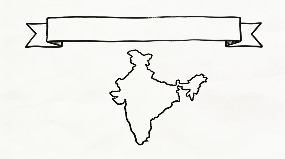
A wider ink drawing showing the peninsula with the sea on both sides, wave marks kept light and the surrounding land indicated with a soft edge only.
프롬프트 편집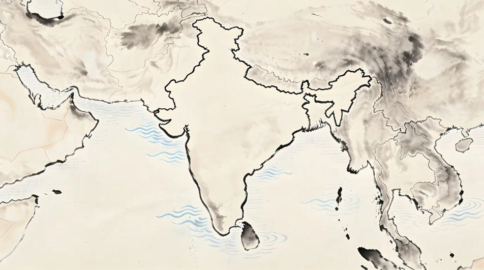
원하는 India map drawing의 모습을 쉬운 말로 설명하세요.
Morphic이 캔버스 위에 바로 게시할 이미지를 몇 초 만에 생성합니다.
프롬프트를 조정해 다시 생성한 뒤, 원하는 이미지를 저장하거나 공유하세요.
모든 이미지에 대한 정확한 원근감 전환과 전체 카메라 제어를 통해 시청 각도를 선택하세요.
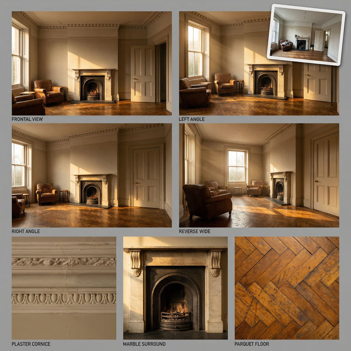
단일 사진에서 전문적인 7패널 위치 참조 시트.
하나의 레퍼런스 이미지로 룩을 설정하세요. 모든 씬이나 배치에 해당 그레이드를 정확하게 적용하세요.
모든 프레임이 변형되고 모든 움직임은 그대로 유지됩니다. 모든 동영상을 완전히 새로운 시각적 스타일로 재스타일링하세요.
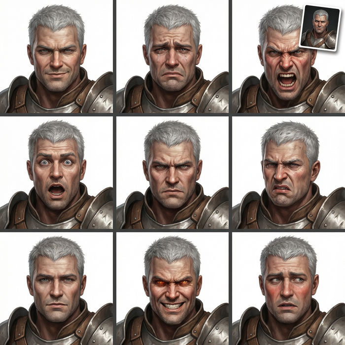
어떤 캐릭터 이미지든 가져와서 단일 참조 시트에 6가지의 뚜렷한 표정을 생성하세요.
부동산 사진이 건설 음향 효과와 음악과 함께 영화 같은 리노베이션 타임랩스 비디오로 변환됩니다.
World drawing generator
Turn a world drawing idea into a finished image in Morphic. Describe the line work and style, generate variations, then refine it on the canvas.
Globe drawing generator
Turn a globe drawing idea into a finished image in Morphic. Describe the line work and style, generate variations, then refine it on the canvas.
Culture drawing generator
Turn a culture drawing idea into a finished image in Morphic. Describe the line work and style, generate variations, then refine it on the canvas.
Ecology drawing maker
Turn an ecology drawing idea into a finished image in Morphic. Describe the line work and style, generate variations, then refine it on the canvas.
오늘 무료로 시작하고 언제든지 업그레이드하거나 취소할 수 있습니다.
Basic
2400 월간 크레딧
1 명 전용
모든 모델
워크플로
Standard
3625 월간 크레딧
1 명 전용
모든 모델
워크플로
Pro
6350 공유 월간 크레딧
1 사용자
모든 모델
워크플로
Max
24650 공유 월간 크레딧
1 사용자
모든 모델
워크플로
Enterprise
더 높은 제한
사용자 정의
가격 및 청구 조건

Free
가볍게 사용해보기
$0
영구 무료