River from source to sea
A geography drawing of a river from source to sea in colored pencil, a mountain spring, waterfalls, meanders, an oxbow lake and a wide delta.
프롬프트 편집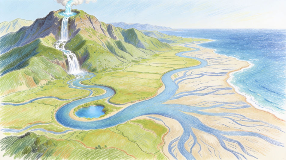
Describe the geography drawing you want in Morphic's Image tool, from a landform diagram with mountains, valleys and a river delta to a cross section of the layers of the Earth. Set the medium and the level of detail, tidy the layout on the Canvas, then download it in HD for a project or a notebook.
A geography drawing of a river from source to sea in colored pencil, a mountain spring, waterfalls, meanders, an oxbow lake and a wide delta.
프롬프트 편집A geography cross section of a volcano in watercolor and ink, the magma chamber, the vent and ash rising from the crater, blank label lines.
프롬프트 편집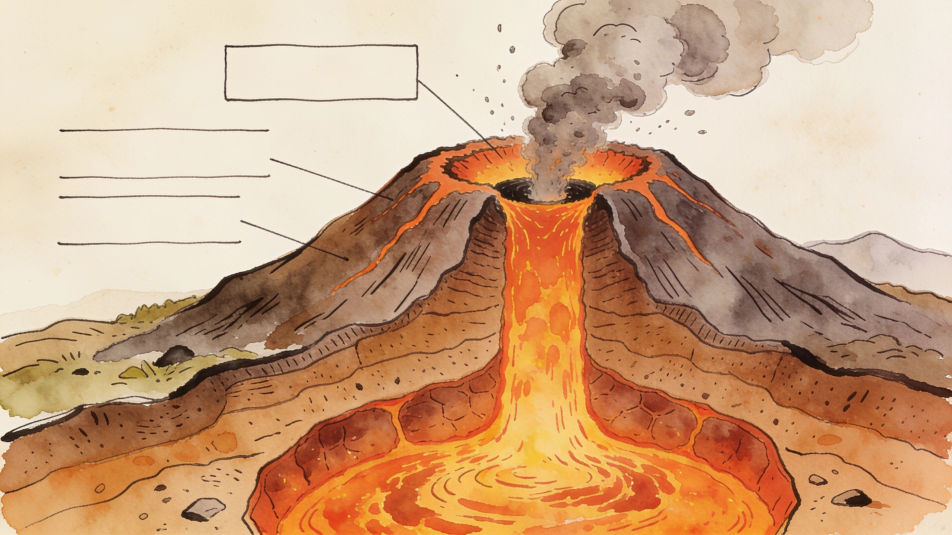
A geography drawing of the globe in pastel, bands of polar, temperate and tropical climate in different colors, the equator as a clear line.
프롬프트 편집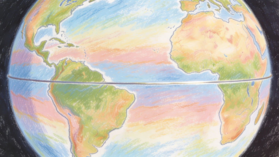
A student sketching a canyon for a geography field trip in pencil, layered rock walls, a river far below and a notebook on a rock.
프롬프트 편집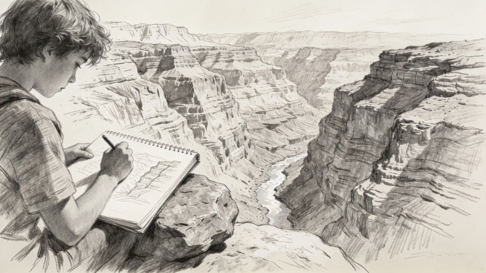
원하는 Geography drawing의 모습을 쉬운 말로 설명하세요.
Morphic이 캔버스 위에 바로 게시할 이미지를 몇 초 만에 생성합니다.
프롬프트를 조정해 다시 생성한 뒤, 원하는 이미지를 저장하거나 공유하세요.
참조 이미지를 선택하고 자신의 사진이나 아트워크에 시각적 스타일을 적용하세요.
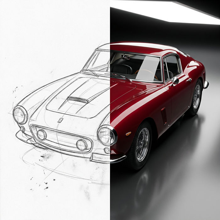
스케치나 그림을 완성된 렌더링으로 바꾸세요.
모든 이미지를 새 종횡비로 변환합니다. 스마트 자르기 또는 가장자리를 늘려 맞춥니다.
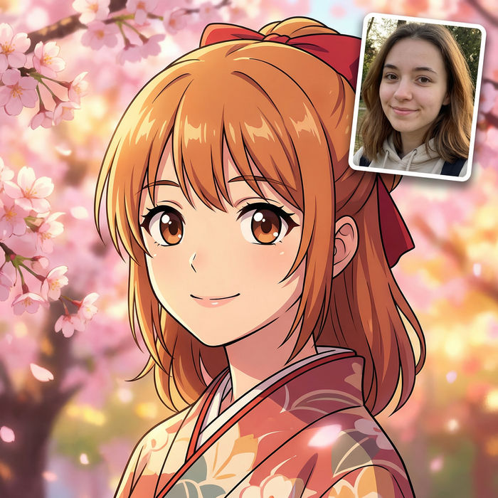
애니메이션 일러스트를 스타일 가이드로 선택하세요. 그 모양을 어떤 이미지에도 적용하세요.
모든 프레임이 변형되고 모든 움직임은 그대로 유지됩니다. 모든 동영상을 완전히 새로운 시각적 스타일로 재스타일링하세요.
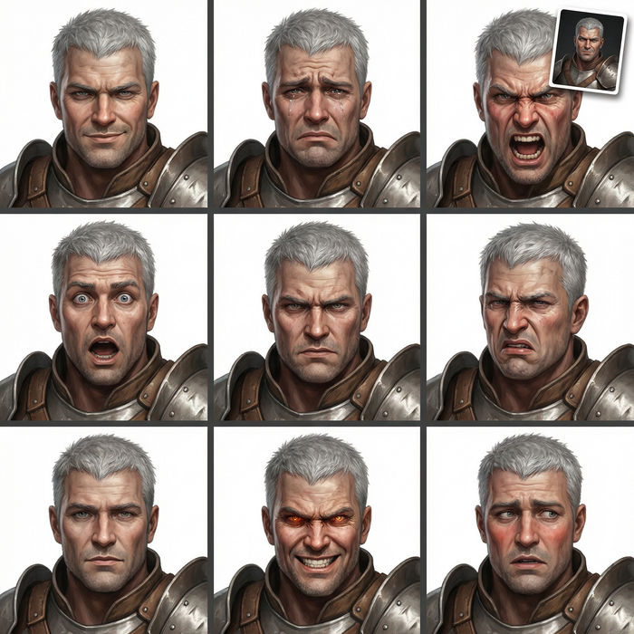
어떤 캐릭터 이미지든 가져와서 단일 참조 시트에 6가지의 뚜렷한 표정을 생성하세요.
World map drawing maker
Turn a world map drawing idea into a finished image in Morphic. Describe the line work and style, generate variations, then refine it on the canvas.
Indian map drawing maker
Turn an Indian map drawing idea into a finished image in Morphic. Describe the line work and style, generate variations, then refine it on the canvas.
Archipelago drawing maker
Turn an archipelago drawing idea into a finished image in Morphic. Describe the line work and style, generate variations, then refine it on the canvas.
Community drawing maker
Turn a community drawing idea into a finished image in Morphic. Describe the line work and style, generate variations, then refine it on the canvas.
오늘 무료로 시작하고 언제든지 업그레이드하거나 취소할 수 있습니다.
Basic
2400 월간 크레딧
1 명 전용
모든 모델
워크플로
Standard
3625 월간 크레딧
1 명 전용
모든 모델
워크플로
Pro
6350 공유 월간 크레딧
1 사용자
모든 모델
워크플로
Max
24650 공유 월간 크레딧
1 사용자
모든 모델
워크플로
Enterprise
더 높은 제한
사용자 정의
가격 및 청구 조건
Free
가볍게 사용해보기
$0
영구 무료