Satellite photography AI Images

Create Satellite photography images in your browser with Morphic's AI image generator. Generate top-down orbital frames like a braided river delta fanning into the sea, a patchwork of farmland grids, or a winding coastline traced from far above. Hold one orbital look across a set with the Style Transfer workflow.

Satellite photography shots you can create

Satellite photography compositions you can produce

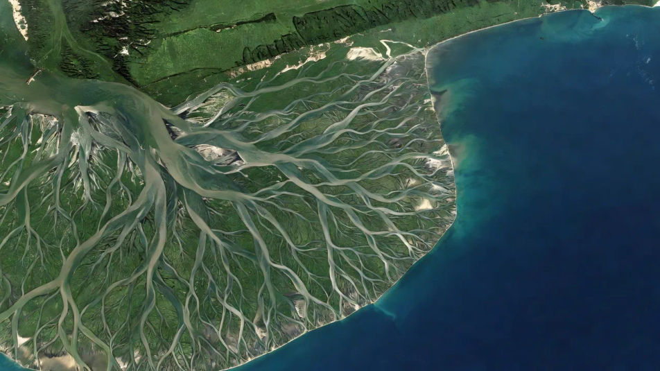
Wide delta frame

A wide top-down composition of a braided river delta fanning into a blue sea, silver channels branching across green sediment, open water reserved on one side for a title.

Prompt bearbeiten
Wide delta frame

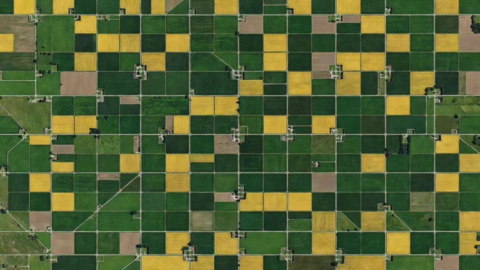
Farmland-grid panel

A landscape frame of patchwork farmland from orbit, geometric plots in greens and golds ruled by clean roads, the grid pattern filling the frame edge to edge.

Prompt bearbeiten
Farmland-grid panel

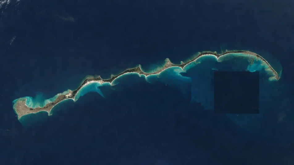
Coastline spread

A wide shot of a winding coastline from above, turquoise shallows fading to deep blue, pale beaches tracing the curve and a clear caption area held in the open ocean.

Prompt bearbeiten
Coastline spread

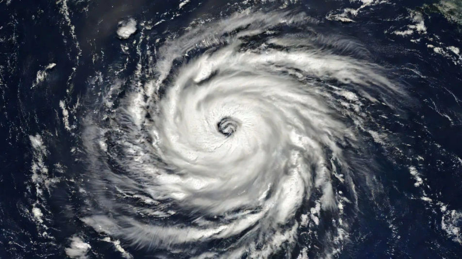
Cloud-swirl establishing shot

An establishing frame of a spiralling storm swirling over dark ocean, white cloud bands wrapping a shadowed eye, a vast atmospheric pattern at orbital scale.

Prompt bearbeiten
Cloud-swirl establishing shot

Satellite photography in drei Schritten erstellen

  1. 01

    Beschreiben Sie Ihr Satellite photography

    Beschreiben Sie das Satellite photography, das Sie möchten, in einfachen Worten.

  2. 02

    Bild generieren

    Morphic generiert in Sekunden ein sauberes, veröffentlichungsfertiges Bild auf Ihrer Canvas.

  3. 03

    Satellite photography verfeinern

    Passen Sie den Prompt an, generieren Sie Varianten und laden Sie das Bild herunter oder teilen Sie es.

Verwandte Workflows

Das könnte Ihnen auch gefallen

Einfache Preise

Starten Sie noch heute kostenlos, mit der Option, jederzeit zu upgraden oder zu kündigen.

Basic

$0/ Monat
abgerechnet als $0 pro Jahr

900 monatliche Credits

1 Nutzer

Alle Modelle

Workflows

Standard

$0/ Monat
abgerechnet als $0 pro Jahr

3200 monatliche Credits

1 Nutzer

Alle Modelle

Workflows

Pro

$0/ Monat
abgerechnet als $0 pro Jahr

6200 gemeinsame monatliche Credits

1 Nutzer

+ bis zu 4 weitere gegen Aufpreis

Alle Modelle

Workflows

Pro Max

$0/ Monat
abgerechnet als $0 pro Jahr

24000 gemeinsame monatliche Credits

1 Nutzer

+ bis zu 9 weitere gegen Aufpreis

Alle Modelle

Workflows

Enterprise

Für höhere Limits

Individuell

Preis- und Abrechnungsbedingungen

Unbegrenzte Credits
Individuelle Platzlimits
Alle Modelle
Workflows
Pricing Gradient

Free

Zum Ausprobieren

$0

dauerhaft kostenlos

Bis zu 20 Credits
Nur 1 Nutzer
Eingeschränkte Modelle
Workflows

Häufig gestellte Fragen

What is satellite photography?
Satellite photography looks straight down at the earth from orbit, flattening terrain into map-like patterns. Rivers, farmland grids, coastlines, dunes and cloud swirls become graphic shapes at a vast scale, defined by colour, texture and the geometry of the land below.
How do I create satellite photography with AI?
You can make satellite photography images with AI on Morphic, right in your browser. Open the Image tool, describe the terrain, the top-down viewpoint, and the colours, and Morphic generates the orbital frame. No satellite feed or mapping software needed.
How do I get a convincing top-down orbital view?
Ask for the angle and scale directly: "straight-down orbital view, braided river delta fanning into the sea, fine tributaries, orbital scale." Naming the top-down viewpoint and the terrain pattern is what reads as a satellite image rather than an aerial photo.
How do I keep a set of satellite images consistent?
Use Morphic's Style Transfer workflow to lock the colour grade and viewpoint from your first frame, then reference that style card across the set. Each image can cover different terrain while the whole series holds one orbital look.
Can I add a title or caption to a satellite image on Morphic?
Yes. Generate the frame with open water or plain terrain reserved to one side, then open the Canvas to place a title there. Keeping type as a layer lets you adjust the wording without regenerating the orbital view underneath.
Do I need real satellite data to make satellite photography?
No. Morphic runs in your browser on plain-language prompts, so you do not need satellite feeds, mapping tools, or any data. Anyone who can describe a stretch of terrain from above can produce an orbital-scale frame in seconds.