River from source to sea
A geography drawing of a river from source to sea in colored pencil, a mountain spring, waterfalls, meanders, an oxbow lake and a wide delta.
プロンプトを編集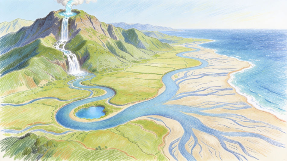
Describe the geography drawing you want in Morphic's Image tool, from a landform diagram with mountains, valleys and a river delta to a cross section of the layers of the Earth. Set the medium and the level of detail, tidy the layout on the Canvas, then download it in HD for a project or a notebook.
A geography drawing of a river from source to sea in colored pencil, a mountain spring, waterfalls, meanders, an oxbow lake and a wide delta.
プロンプトを編集A geography cross section of a volcano in watercolor and ink, the magma chamber, the vent and ash rising from the crater, blank label lines.
プロンプトを編集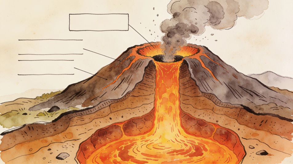
A geography drawing of the globe in pastel, bands of polar, temperate and tropical climate in different colors, the equator as a clear line.
プロンプトを編集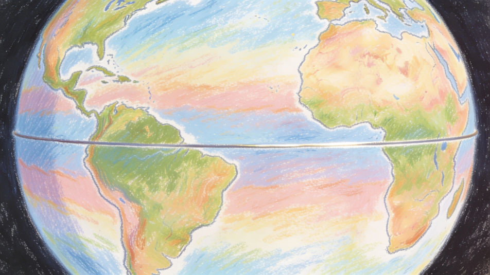
A student sketching a canyon for a geography field trip in pencil, layered rock walls, a river far below and a notebook on a rock.
プロンプトを編集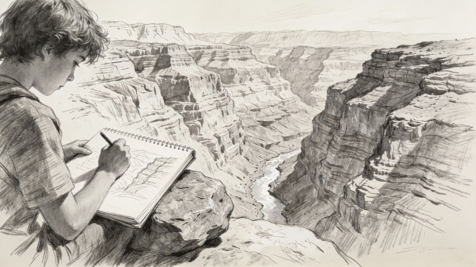
作りたいGeography drawingを、わかりやすい言葉で記述します。
Morphicがキャンバス上に公開できる画像を数秒で生成します。
プロンプトを調整して再生成し、気に入った画像を保存・共有します。
参照画像を選択し、そのビジュアルスタイルを自分の写真やアートワークに適用します。
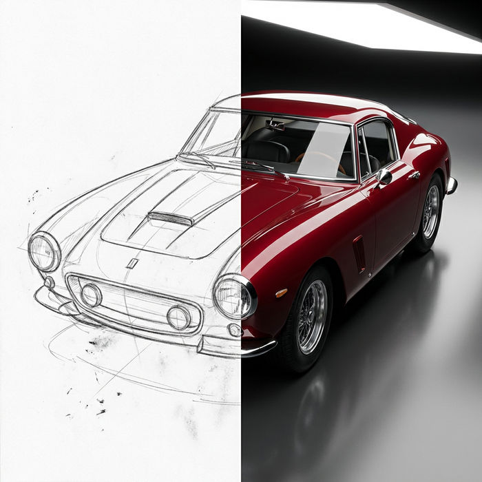
スケッチや描画をレンダリング済みの完成品に変換します。
画像を新しいアスペクト比に変換します。スマートクロップまたはエッジを拡張してフィットさせます。
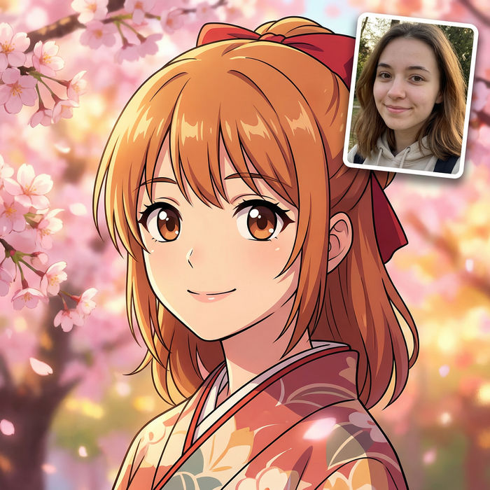
アニメのイラストをスタイルガイドとして選び、その見た目を画像に適用してください。
あらゆる映像を全く新しいビジュアルスタイルに再構築します。全てのフレームが変容し、全ての動きはそのまま維持されます。
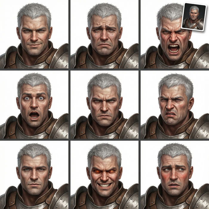
任意のキャラクター画像を元に、1枚のリファレンスシートに6つの異なる表情を生成します。
World map drawing maker
Turn a world map drawing idea into a finished image in Morphic. Describe the line work and style, generate variations, then refine it on the canvas.
Indian map drawing maker
Turn an Indian map drawing idea into a finished image in Morphic. Describe the line work and style, generate variations, then refine it on the canvas.
Archipelago drawing maker
Turn an archipelago drawing idea into a finished image in Morphic. Describe the line work and style, generate variations, then refine it on the canvas.
Community drawing maker
Turn a community drawing idea into a finished image in Morphic. Describe the line work and style, generate variations, then refine it on the canvas.
今すぐ無料で始めて、いつでもアップグレードまたはキャンセルできます。
Basic
2400 月 クレジット
1 ユーザーのみ
すべてのモデル
ワークフロー
Standard
3625 月 クレジット
1 ユーザーのみ
すべてのモデル
ワークフロー
Pro
6350 共有 月 クレジット
1 ユーザー
すべてのモデル
ワークフロー
Max
24650 共有 月 クレジット
1 ユーザー
すべてのモデル
ワークフロー
Enterprise
より高い制限のために
カスタム
料金と請求条件
Free
気軽に試したい方に
$0
ずっと無料