Map on a classroom board
The outline drawn in chalk on a dark green board, the strokes dusty and broken, a chalk stub and duster resting on the ledge beneath it.
プロンプトを編集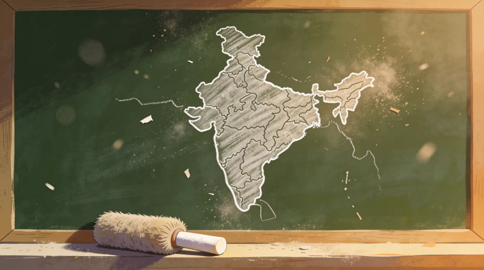
Describe the India map drawing you want in Morphic's Image tool, from a clean single-stroke outline to a relief map in coloured pencil or a decorated poster version. Set the medium, the line weight and the fill, refine it on the Canvas, then download it in HD.
The outline drawn in chalk on a dark green board, the strokes dusty and broken, a chalk stub and duster resting on the ledge beneath it.
プロンプトを編集The outline centred with small fine-liner drawings of domes, temple towers and forts spaced evenly around the border, all in the same line weight.
プロンプトを編集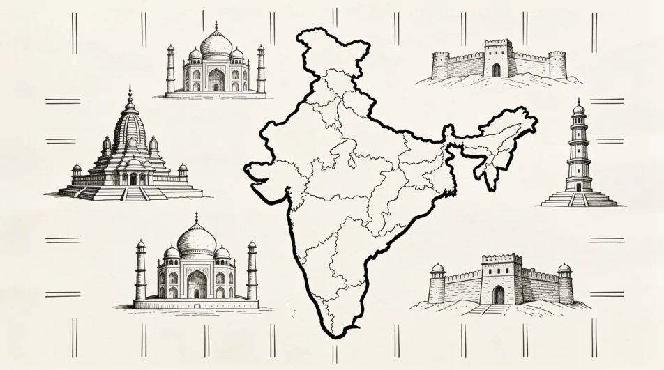
The map centred low in bold outline and flat colour with a clean empty banner across the top, left open so you can set your own wording.
プロンプトを編集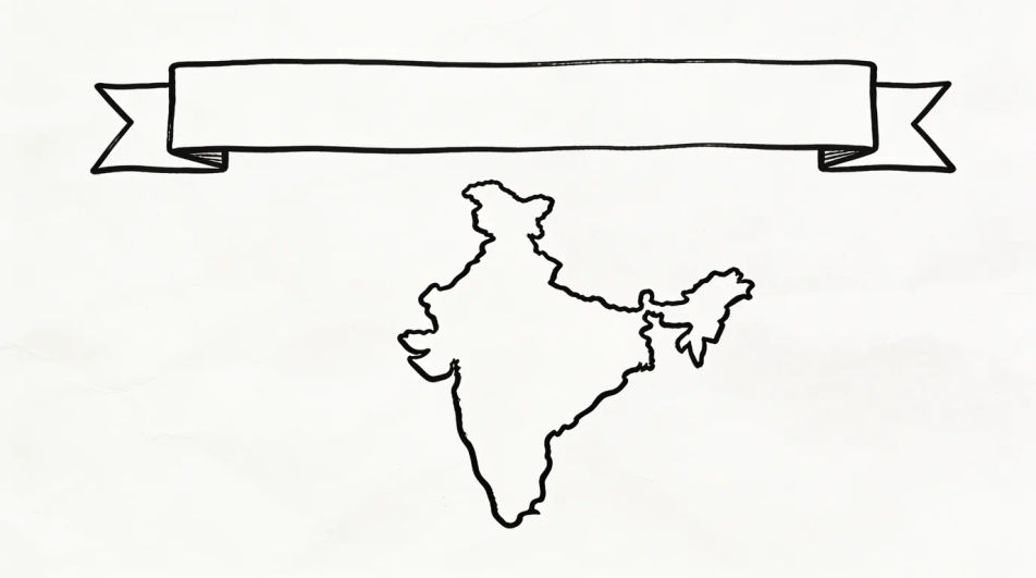
A wider ink drawing showing the peninsula with the sea on both sides, wave marks kept light and the surrounding land indicated with a soft edge only.
プロンプトを編集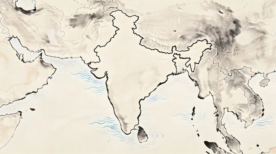
作りたいIndia map drawingを、わかりやすい言葉で記述します。
Morphicがキャンバス上に公開できる画像を数秒で生成します。
プロンプトを調整して再生成し、気に入った画像を保存・共有します。
視聴角度を選択し、完全なカメラ制御で画像の正確なパースペクティブシフトを取得します。
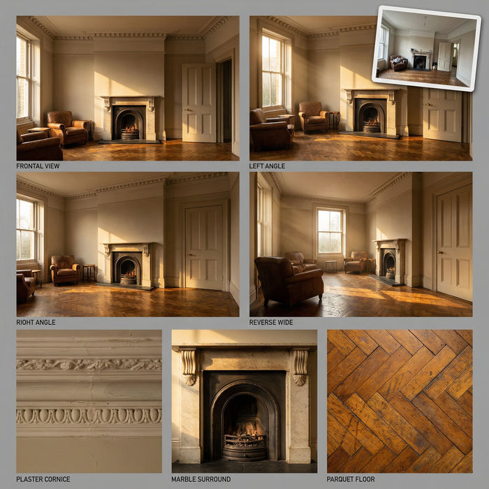
単一の写真からのプロフェッショナルな7パネルの場所参照シート。
参照画像1枚でルックを設定します。あらゆるシーンやバッチにその正確なグレードを適用します。
あらゆる映像を全く新しいビジュアルスタイルに再構築します。全てのフレームが変容し、全ての動きはそのまま維持されます。
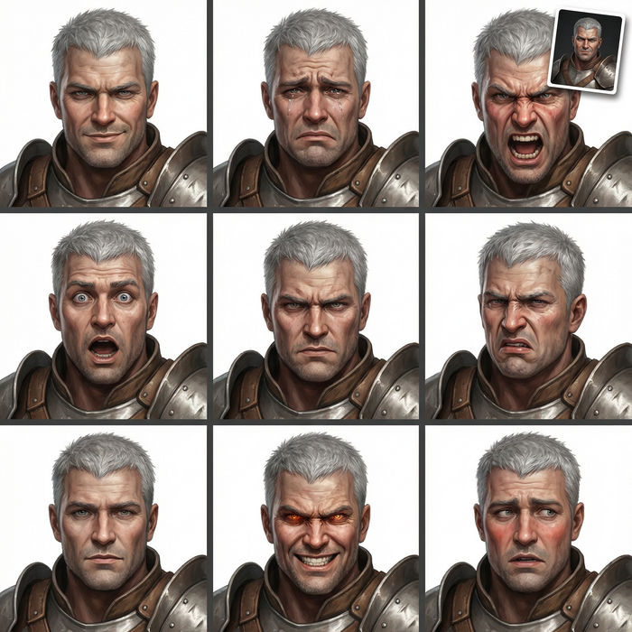
任意のキャラクター画像を元に、1枚のリファレンスシートに6つの異なる表情を生成します。
不動産の写真は、建設SFXと音楽を使った映画のようなリノベーションのタイムラプスビデオになります。
World drawing generator
Turn a world drawing idea into a finished image in Morphic. Describe the line work and style, generate variations, then refine it on the canvas.
Globe drawing generator
Turn a globe drawing idea into a finished image in Morphic. Describe the line work and style, generate variations, then refine it on the canvas.
Culture drawing generator
Turn a culture drawing idea into a finished image in Morphic. Describe the line work and style, generate variations, then refine it on the canvas.
Ecology drawing maker
Turn an ecology drawing idea into a finished image in Morphic. Describe the line work and style, generate variations, then refine it on the canvas.
今すぐ無料で始めて、いつでもアップグレードまたはキャンセルできます。
Basic
2400 月 クレジット
1 ユーザーのみ
すべてのモデル
ワークフロー
Standard
3625 月 クレジット
1 ユーザーのみ
すべてのモデル
ワークフロー
Pro
6350 共有 月 クレジット
1 ユーザー
すべてのモデル
ワークフロー
Max
24650 共有 月 クレジット
1 ユーザー
すべてのモデル
ワークフロー
Enterprise
より高い制限のために
カスタム
料金と請求条件

Free
気軽に試したい方に
$0
ずっと無料