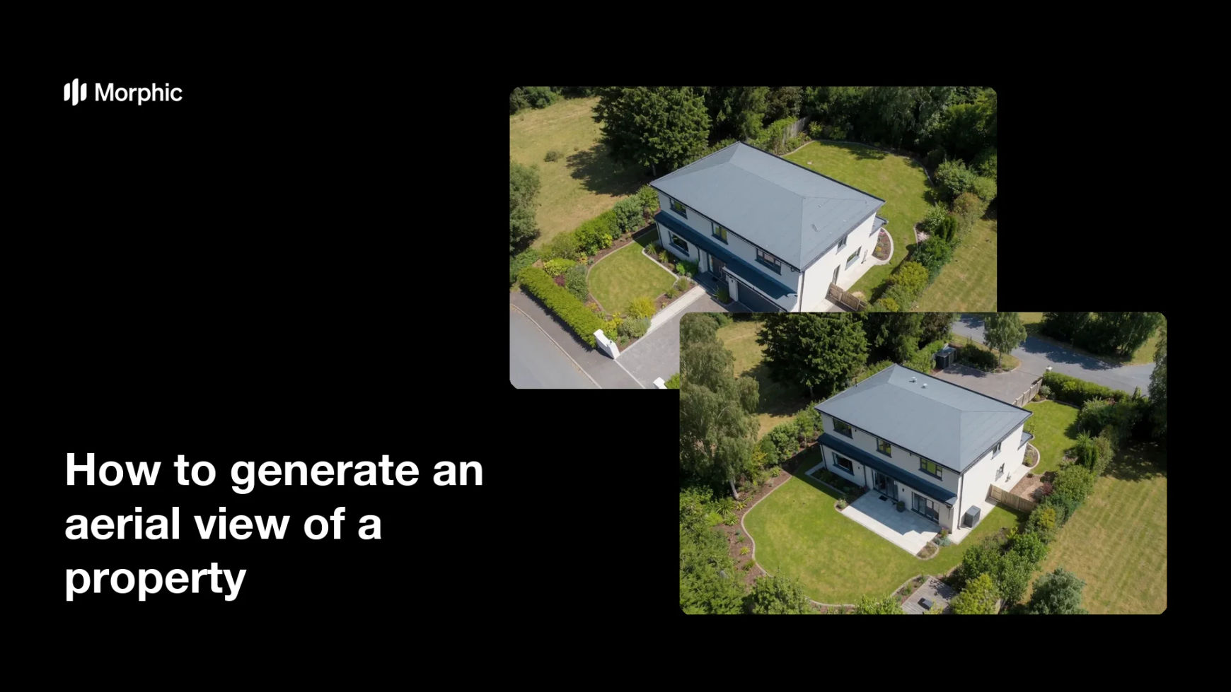
What is an aerial view of a property?
An aerial view of a property is an elevated, drone-style shot that shows the home, its land, and the surrounding setting from above. Agents and developers use it to convey lot size, layout, and location in a way a ground-level photo cannot. It helps buyers understand how a property sits within its plot and neighborhood at a glance.
Morphic can generate this look in the browser from a standard photo of the home. You upload the picture, describe the angle and height you want, and it builds an elevated view of the property and its grounds. When it looks right, you download the image in high resolution for listings, brochures, or social.
Upload a photo of the property
Start with a clear exterior shot that shows the home and some of its surroundings. The more context in the photo, the more the aerial view has to build from.
Describe the aerial angle
Tell Morphic the height and direction you want, such as a front approach or a view over the rear garden. Naming the angle helps produce the exact perspective a listing needs.
Include the surroundings
Ask for the driveway, garden, and nearby features so the plot reads clearly from above. Showing the full setting helps buyers judge lot size and position.
Set the light and mood
Choose the time of day, such as bright midday or a warm golden hour, to flatter the property. Consistent, natural light makes the aerial view feel believable and appealing.
Review and download
Check that the layout looks accurate and the angle shows the property well, then generate a few options. Download your preferred view in high resolution for any listing or marketing use.
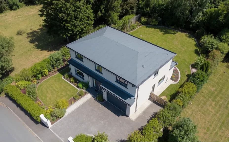
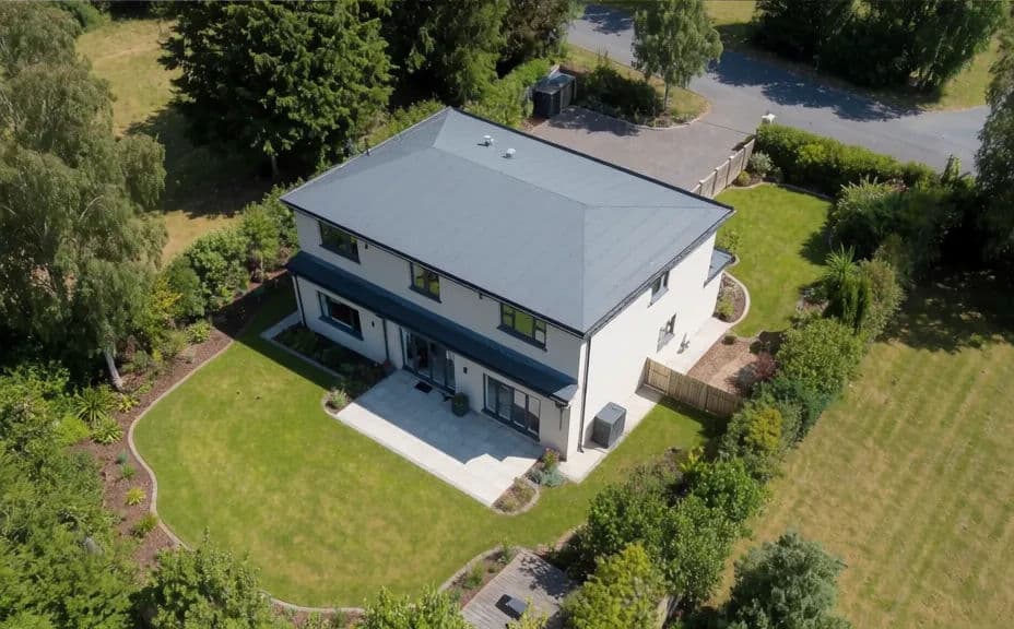
The two tiles below show two aerial drone angles of the same property, a front approach and a view over the rear garden.
What makes a good aerial property view
| Quality | What it means | Why it matters |
|---|---|---|
| Clear layout | The home and plot are easy to read from above | Buyers grasp lot size and position at a glance |
| Believable angle | The height and perspective look natural | The view reads as a real drone shot, not a trick |
| Full surroundings | Driveway, garden, and setting are visible | The property's context and appeal come through |
| Flattering light | Natural, well-timed lighting on the scene | The home looks its best in the marketing |
Morphic vs the traditional way
| Morphic | Hiring a drone pilot | |
|---|---|---|
| Cost | Available on Morphic | Pilot booking and travel fees |
| Time | Ready in minutes | Scheduling and a site visit |
| Skill needed | Describe it in plain language | Licensed pilot and equipment |
| Consistency | Same property, chosen angles | Weather and flight limits apply |